40 degrees on the big day? Santa might not even need his suit
If you need a reminder of how fickle Minnesota winters can be, consider last week.
On Dec. 16, the high in the area was 50 degrees, and the overnight low was 30.
Not bad for mid-December. This was three days after a high of only 7. Two days later on Thursday, the high was lower than that low in the early-morning hours.
But things got ugly even before that.
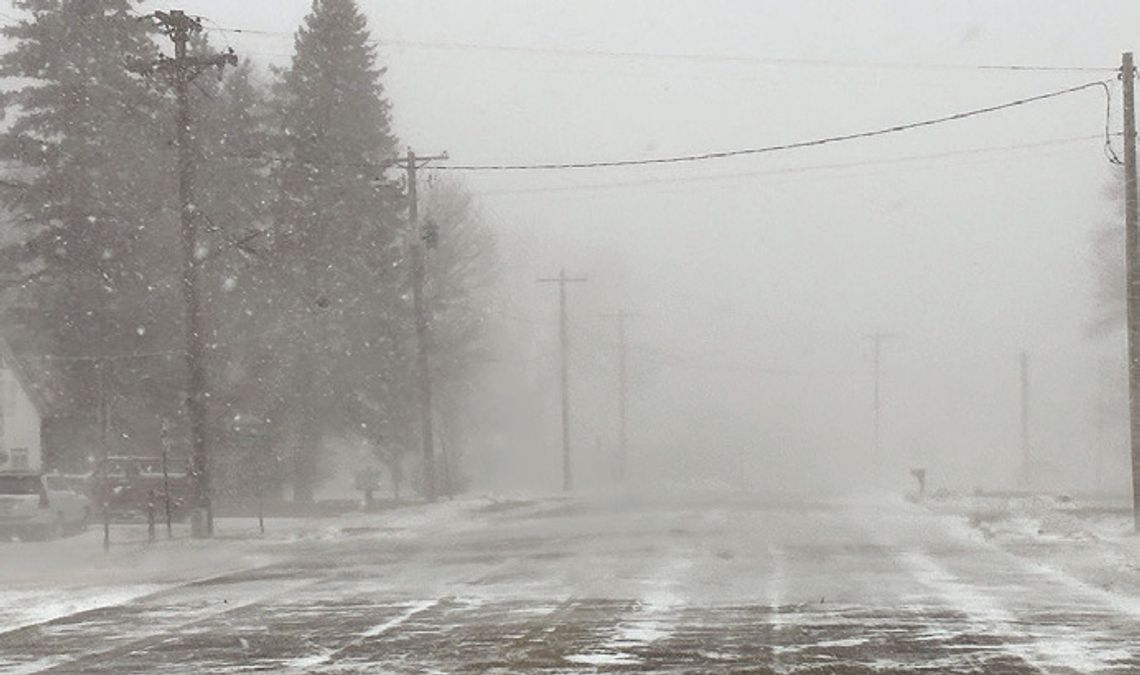
The winds picked up Wednesday evening and were quite strong, even for Minnesota standards. But those gales were nothing compared to Thursday, when the strongest gust in Tracy reached 55 mph as a high wind warning was issued.
Those winds made the temperature drop bit by bit. At 6 a.m., the thermometer read 37 degrees. By 10 a.m., it was 20 degrees. Five hours later, it was 12. And it got down to the low single digits shortly after dark as the winds continued to howl.
And not only that, it snowed on and off, but mostly on. A windy day turned into a blizzard, and all after-school activities were wiped out (or blown away, as it were).
“The last couple of weeks we’ve been in a more active weather pattern, with more systems moving through the overall flow of the atmosphere,” said Samantha Garrett, a meteorologist for the National Weather Service in Sioux Falls, SD. “In respect to the winds, wind is essentially the atmosphere trying to equalize itself between high and low pressure. When we see those stronger winds, it means there’s a strong pressure difference — systems tend to be stronger, and the result of that is those very strong winds.”
More temperature changes were in store for last Friday, when we drove to work in 4-degree weather. But in a matter of about four hours, it was in the mid-20s. Just like that, it was nice again — or at least tolerable. And it got even better. By 7 p.m. Friday, the mercury had hit 31, which led to 30-degree weather Saturday; it was 40 by Monday.
The Christmas Day forecast calls for a temperature of 40 with no snow in sight to cover up what is left over from earlier this month — most of that is dirty snow, not the pristine white stuff that we all yearn for at this time of the year.
No, not exactly a white Christmas. And Garrett says the snow that has stuck around — white or otherwise — might not be around much longer.
“Looking at the end of December, beginning of January, right now aboveaverage temperatures and below average precipitation are favored,” she said. “Through January, there is no strong signal either way for temperatures or precipitation. It’s similar in the three-month outlook. We have been a bit more active so far this winter compared to the last couple of winters — the pattern early on has been pretty active.”
While the calendar says winter didn’t begin until Dec. 21, the meteorological winter started on Dec. 1. Most people have already braced themselves for what they have heard will be a nasty winter season, but Garrett said there is no sign that this winter will be worse than others.
So what’s on tap of Christmas Eve and Christmas Day? Depending on your perspective, you will either be extremely pleased or very disappointed. Garrett said when you wake up on Christmas morning, there might already be some melting going on.
“It’s looking like a very mild Christmas Eve and Christmas Day, with potentially nearrecord temperatures on Christmas Day,” Garrett said. “Most of southwest Minnesota on Christmas Eve is looking at temperatres in the lower 40s, and high on Christmas Day might even reach 50 in some locations. Conditions also look to be very dry during that time, so don’t expect any precipitation. Those dreaming of a white Christmas probably won’t think we’re very lucky.”


