creating habitat in murray county
DNR showcases work being done on Long Lake and Shetek Inlet WMAs
Just a couple miles away from the constant rumbling of semi trucks hauling dirt and clay from Xcel Energy’s generation station on Hwy. 59 sits inconspicuous pieces of land — acres that most motorists pay little attention to.
It’s a large and expansive area of what the DNR calls marginal cropland, more than 500 acres in all. But thanks to the work of the Minnesota DNR, this land is not sitting idle. Restoration efforts will return more than 40 wetland basins and 400 prairie acres to the landscape, an acquisition that also increases public access to Long Lake.
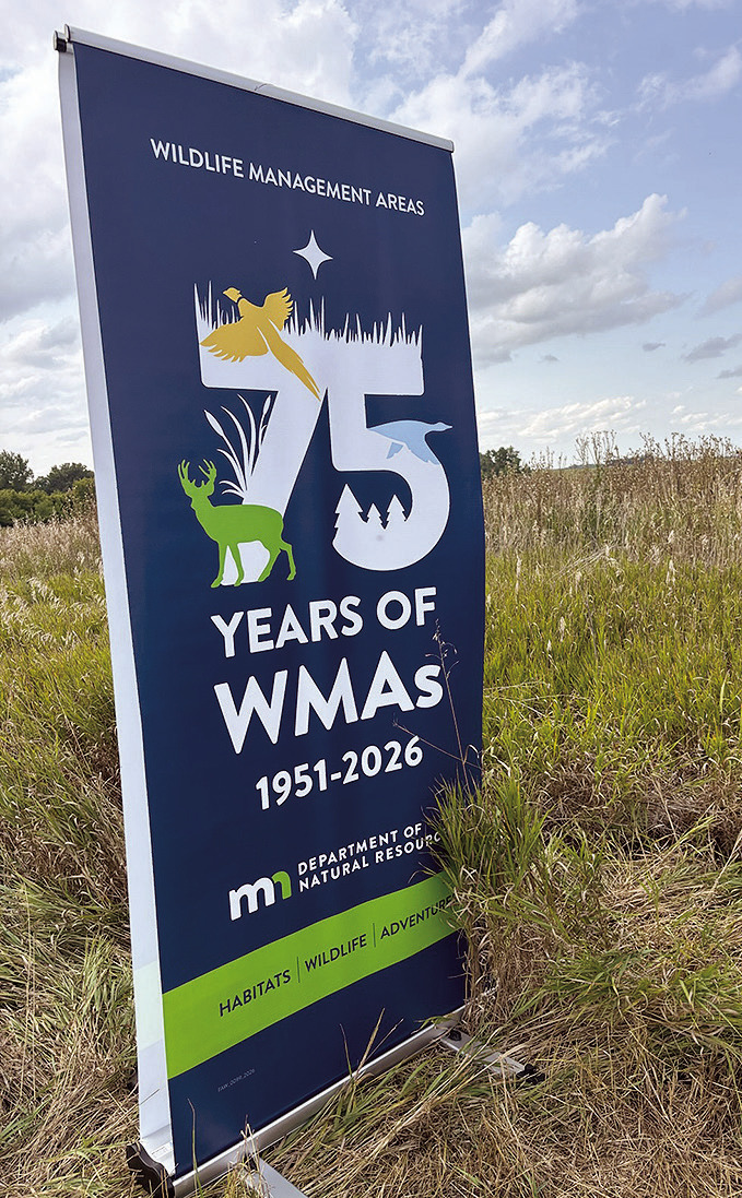
On Tuesday afternoon, DNR employees celebrated 75 years of land preservation through its Wildlife Management Areas (WMA) program by gathering at a site near the Murray/Lyon county line.
“We’re seeing it develop,” said DNR Area Wildlife Manager Wendy Kruger. “What you’re seeing is the before picture … you’re hoping that the native grasses are going to out-compete the weeds. You want a diverse mix of grasses, flowers.”
Ducks Unlimited in 2023 acquired the land to the south and west of Garvin and on the east side of Murray County Road 30 from the Bonnie Johnson estate. At that time, there was some CRP acres, but most were being farmed.
In all, DU purchased 538 acres of marginal cropland, drained wetlands, native prairie, lakes shore and a mile of Des Moines River. Its purpose is to restore and protect prairie pothole habitat at a cost of $6 million.
“The areas that weren’t in grass yet, we have to seed down to native grass and flowers,” Kruger said. “We try to get a good, diverse mix. That’s what we’re showcasing here.”
The other focus area is on the west side of the road and just started getting worked on a year ago. There is also a food plot in that area.
“It’s just in its first year, so you’re going to see a lot of annual weeds,” Kruger said. “Here (on the east side) it’s year two, you’re going to see more flowers blooming. It usually takes three, four years for good prairie to develop.”
WMAs are managed to create and maintain quality habitats for a wide variety of wildlife. Through prairie and grassland plantings, the DNR works to provide essential nesting cover that supports waterfowl, pheasants and other upland birds.
The parcels were acquired to add to the Long Lake WMA and Shetek inlet WMA to improve breeding habitat for waterfowl and other wetland and prairie-dependent wildlife.
“There’s management as far as weed control — noxious weeds, invasive species; we try to keep the volunteer trees out of the prairie areas,” Kruger said.
The areas are home to pheasants, deer and even some turkeys. The DNR’s hope is to create an ideal habitat for animals and birds.
The seeds that are put down are custom mixes. Shon Thelen, assistant area wildlife manger for the DNR, said it took a couple weeks to complete the seeding process on the east side of the highway. Seeds are planted according to the soil conditions and include short grass (40 acres) mesic (56 acres) and wet-mesic (20 acres).
“Over time, we want it more diverse, and those annual weeds, over time, will start to disappear,” Kruger said.
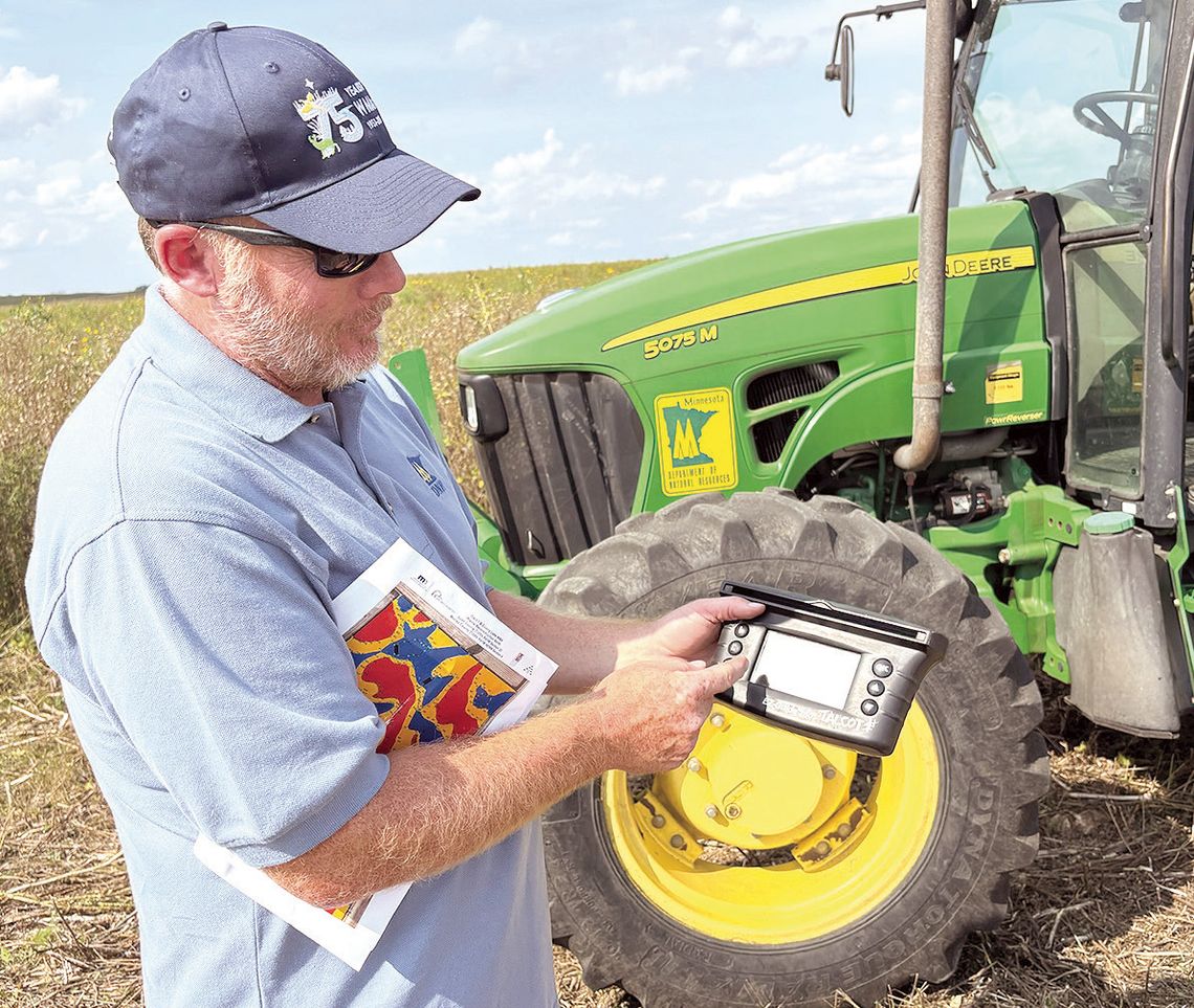
Thelen uses an Easy Guide 250 GPS device to track where to put the seeds.
“It will show what you’ve done, so you know where you’ve been,” he said. “It’s the same as what farmers use. We use it for this, and we use it for spraying, too.”
A map Thelen also uses shows the various soil conditions — the dry areas on the higher ground and the wet areas in lower land. This allows the DNR to customize seed placement.
“We know the plants that are made for the wet areas,” he said. The WMA program started in 1951 with the Save the Wetlands program. The DNR manages more than 1,500 WMAs across the state, encompassing nearly 1.4 million acres of public land.